


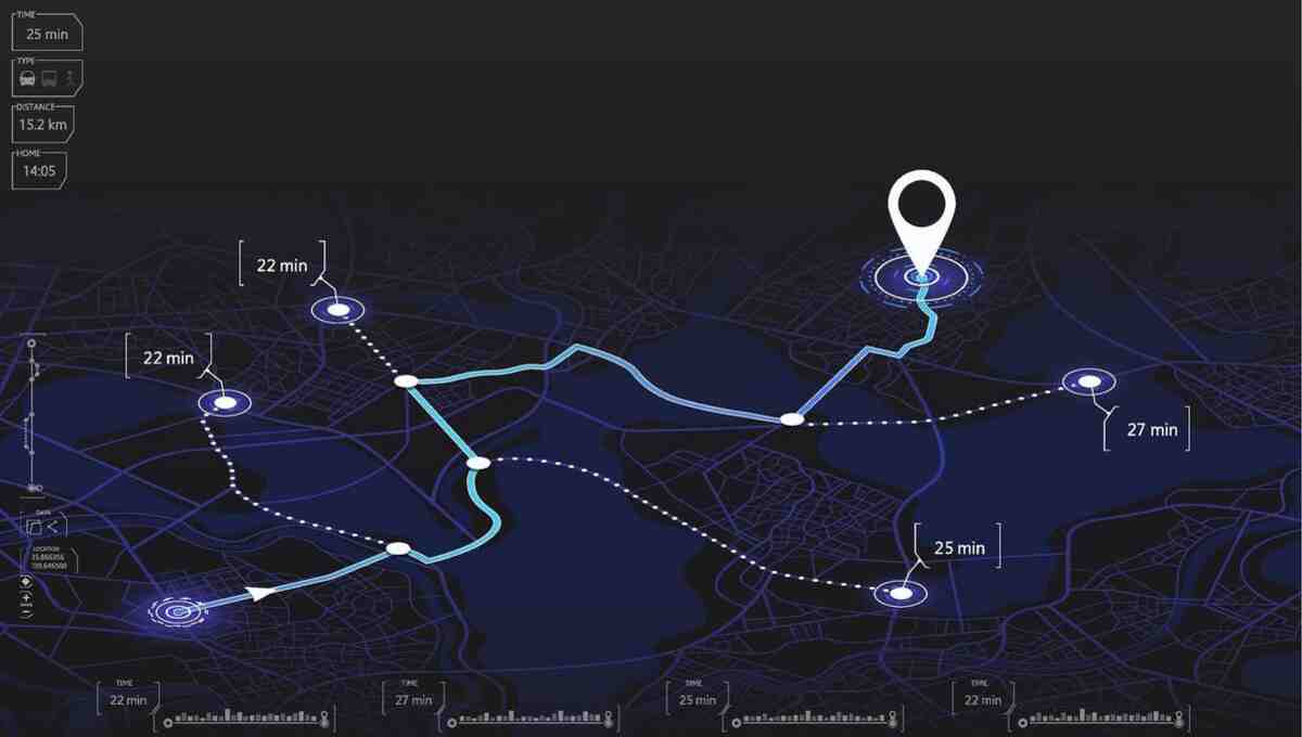

Google just dropped one of the most requested and long-awaited tools developers have been crying out for: a feature which will eventually let the community create very detailed and precise maps showing people’s travel potential from any given point based on the time constraint. The new Isochrones Feature launched by the Google Maps Platform calculates actual reachability using real-world data like road networks, traffic conditions, and travel modes instead of just drawing circles representing distances as on a plain old map. For anyone who has ever done a map search with radius filter and realized that the result was a big misunderstanding, this change sounds like it has been overdue and is finally here with a genuine usefulness. In the past, many applications and websites have been using either the distance that one could go straight ahead by car or a very crude estimate to determine the reachable areas in 15 minutes, 30 minutes, or 1 hour. Such methods often disregarded the existence of highways or one-way streets, traffic congestion, routes of public transportation, and even natural obstacles like rivers or railway lines. As a result, the mapped areas were visually clean but were not an actual reflection of how the people would use the city space. Google’s Isochrones API But has replaced this element of speculation with the calculations based on the same road data that Google Maps itself relies upon.
A scenario that shows why the difference could make a big difference is when the delivery service company can inform its customers about the exact territory that the drivers can cover in the time frame of the lunch rush without making them rely on the over-idealized circle that the congestion has actually made them not get there. Another instance where the utility can be well illustrated is when the real estate platform displays areas that are actually a reasonable commute distance for a specific job instead of just listing everything within a certain number of miles. Besides this cities emergency services, and shops will have a much clearer idea about the accessibility which is based on the real functioning of the streets and the transit systems as well. To wrap up, the real difference is that now one gets rid of the approximated reachability to be replaced with an accurately calculated one.
For developers, the capability to create isochrones has been in their minds for quite a while. Several of these people around either built their own solutions with the help of approximations or they stitched together multiple routing requests that were not only cumbersome but rather expensive methods of working around the limitation. The recent arrival of this feature is a great relief to developers who would find this feature more than just a nice addition. In a single API call, the user will be able to get a polygon representing an area reachable within a chosen time for a particular mode of transportation – car bicycle walking, or public transport respectively. Since the computation of the shapes will be based on the latest data available on the roads and traffic situations from Google, they will remain valid and useful if there is an unforeseen traffic condition or the area in question is blocked for some reason. The release of this feature is a sign of Google mapping software development taking yet another turn towards greater user interaction. Back when there was a very limited map interface, the main emphasis was on the representation of places and routing information. These days, it is more of a matter of having to figure a time, how accessible a place is, and whether one is able to take advantage of the opportunity. How far could a working mum go for her child’s childcare if the kindergarten is open? Which grocery stores are the only one that those without cars could realistically reach? Which place is the most suitable new clinic location so that almost no one can miss getting there even in a short time? When the isochrones are drawn to reflect such inquiries, they become very easy for non-experts to visually understand.
Companies that have a lot of data and insight about location would probably jump on the chance of using the tool soon. Such companies like transport ones will adjust the time of delivery and also reduce failures of the deliveries. Stores are able to rely on much more precise data when planning what the catchmental areas look like. Also, for travel and tourism, suggesting possible options by taking into account realistic time required to reach the location instead of giving the impression they are far will allow users to plan the day-trip better. Even tools that a business might have for workforce planning or for understanding where the customers can reach services through various means should prove very useful once such a function is included.